In anticipation of my talk next week (4/13) on "Early Printed Maps," today's post highlights several of our collection's cartographic items. Time is a bit short for me this week (SAA in Seattle), so today's entry is heavy on images and light on text.
 |
| "Angliae Heptarchia" from William Lambarde, A Perambulation of Kent (1596) |
 |
| "Bedford" by Christopher Saxton (1610?) |
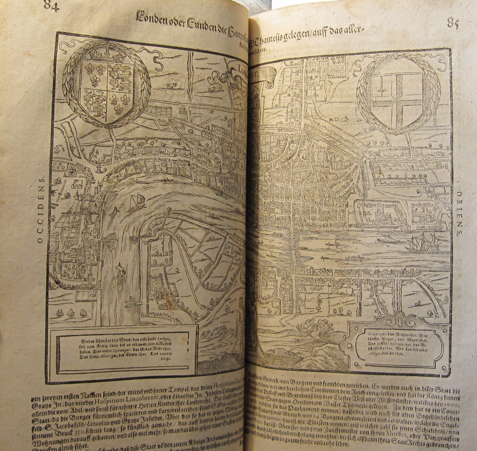 |
| Map of London from Sebastian Münster's Cosmographia (1628) |
 |
| Europe as Map/Monarch, from Sebastian Münster's Cosmographia (1628) |
 |
| World Map from Sebastian Münster's Cosmographia (1628) |
 |
| "The description of the holy Land" from [The Bishop's Bible] (1602) |
 |
| "Africae Descriptio Nova" from Peter Heylyn, Cosmography (1670) |
 |
| "Americae Descriptio Nova" from Peter Heylyn, Cosmography (1670) |


